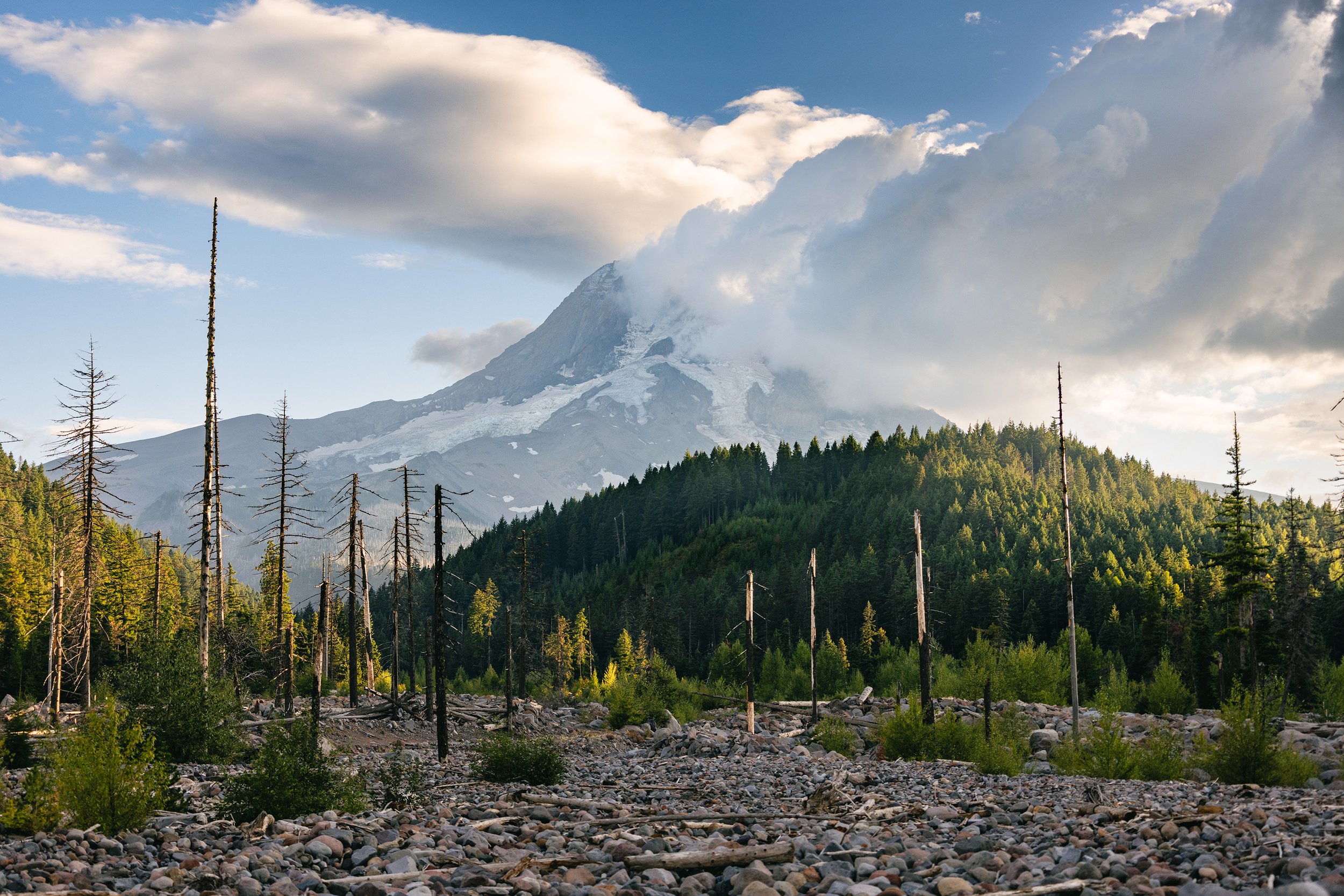
PNW Musings: Laurance Lake (Mt. Hood)
Over the course of eight days, I traveled from Southeast Idaho to Olympic National Park in Washington and other iconic locations in the Pacific Northwest. On day one, I drove 12 hours to capture my first iconic view–Mt. Hood.
Nestled in the Northern Cascade Range, Laurance Lake offers a picture-perfect view of Mt. Hood from the north side. Along with stunning views, the lake offers recreational opportunities for visitors to camp, fish, swim, kayak, and more. In 1969, the lake was formed when the Middle Fork Irrigation District built a dam across the Clear Branch of the Hood River.
With Hood River, Oregon being the largest fruit-growing district in the state, Laurance Lake “helps provide irrigation water to 6,362 acres of pears, apples, cherries and other crops in the Upper Hood River Valley,” according to Middle Fork Irrigation District.

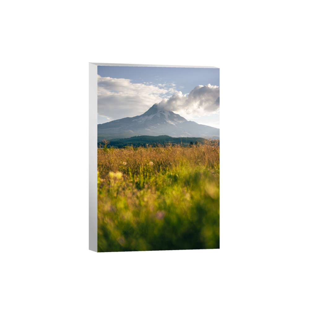
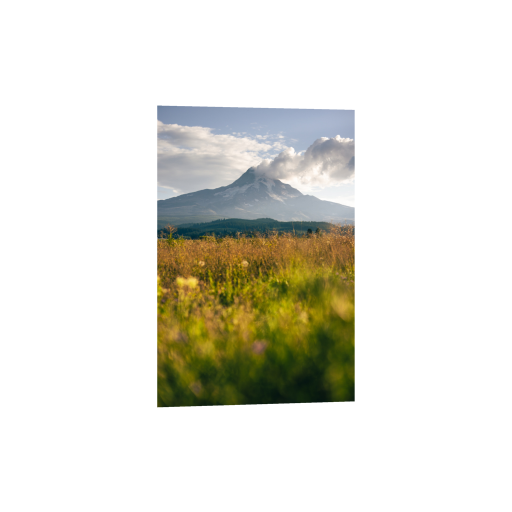
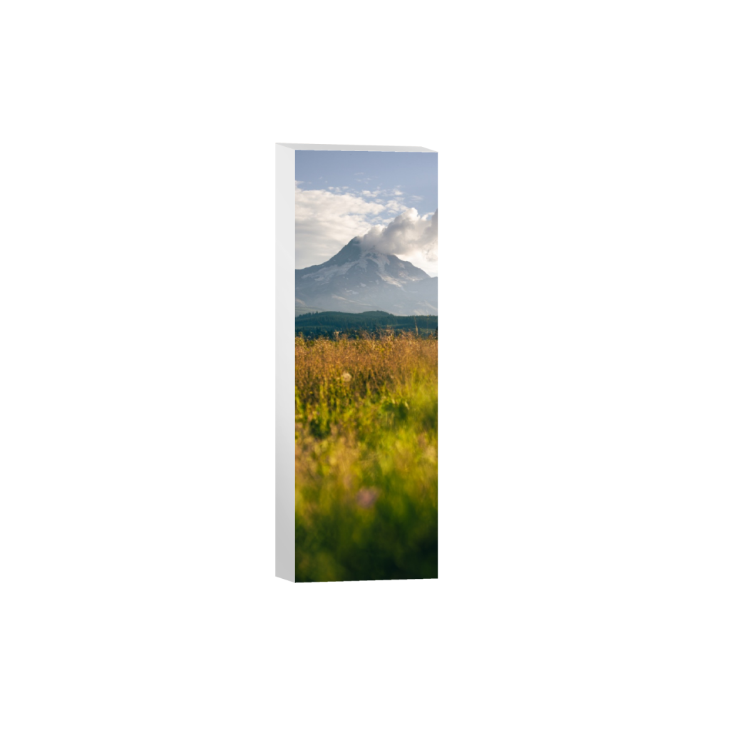
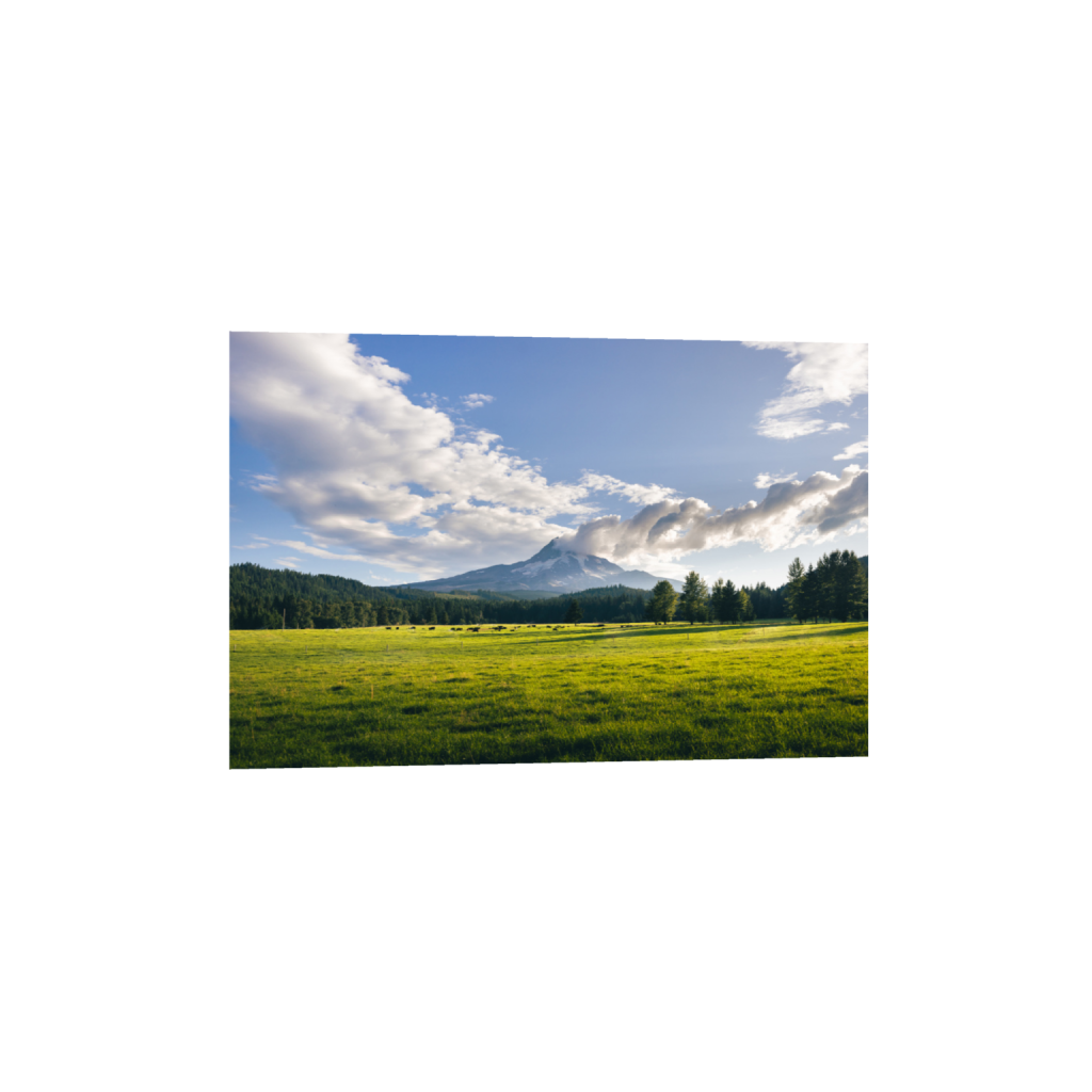
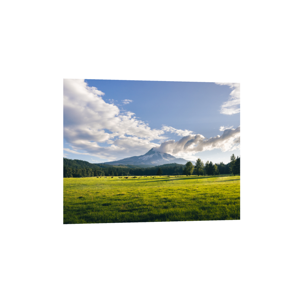
Field Along Laurance Lake Dr
After you turn onto Laurance Lake Dr, you can expect to be greeted with a field view of Mt. Hood and potentially capture cows grazing in the distance.

Pond Near West Fork Evans Creek
A little more than a mile up the road is a pond that connects to West Fork Evans Creek. The still water provides a clear reflection of Mt. Hood above the trees.
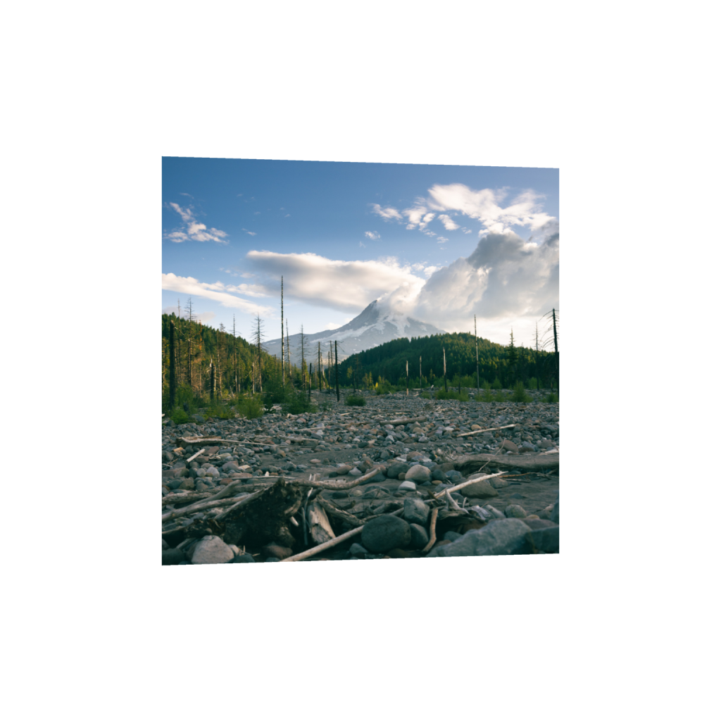
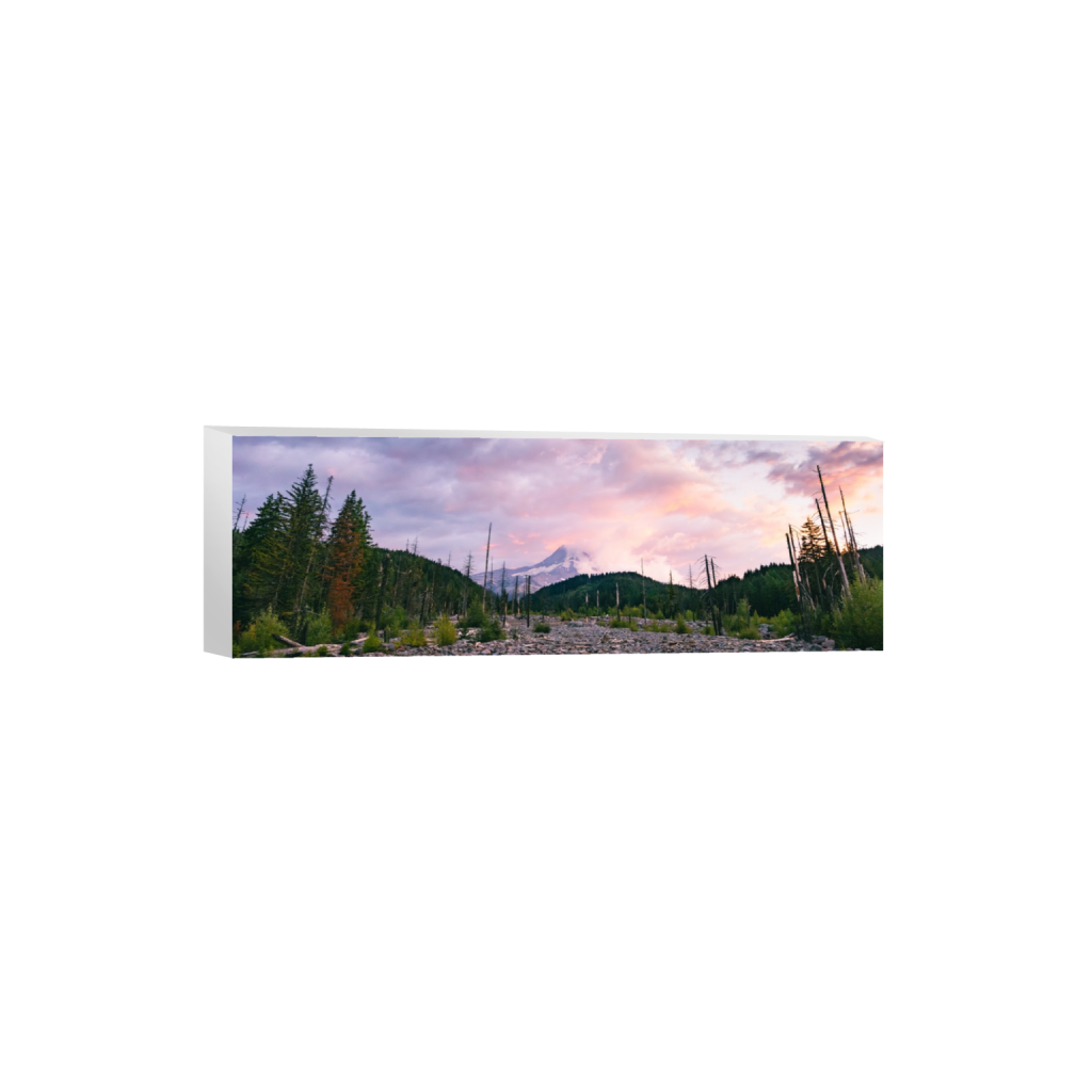
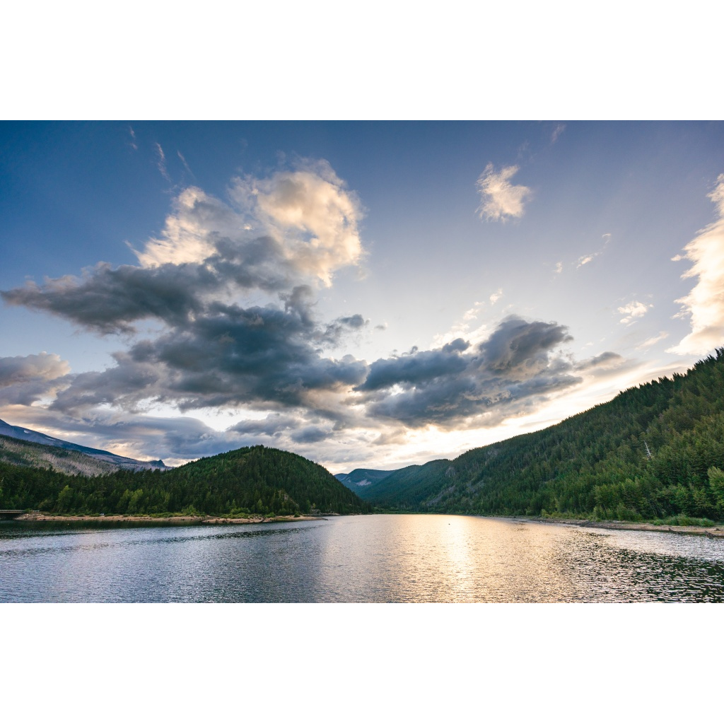
Roadside View (Early Evening)
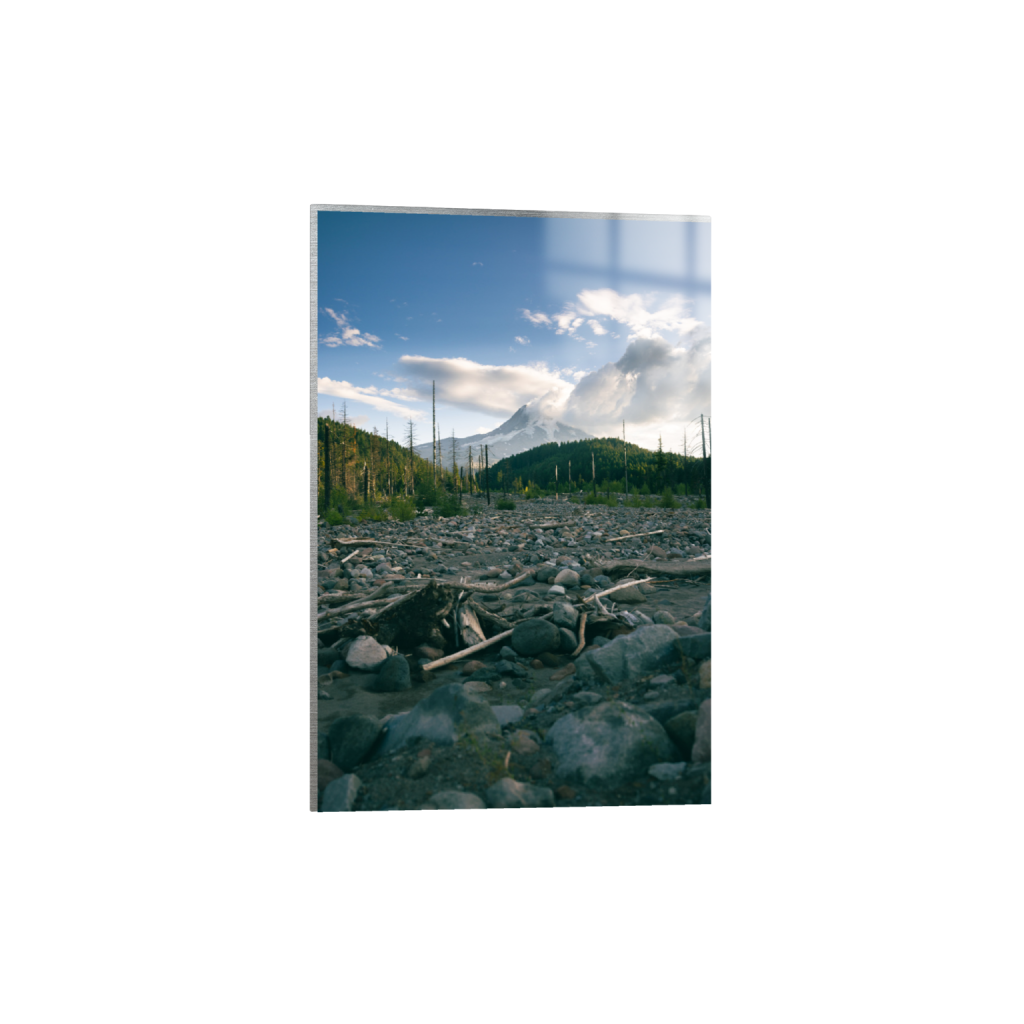
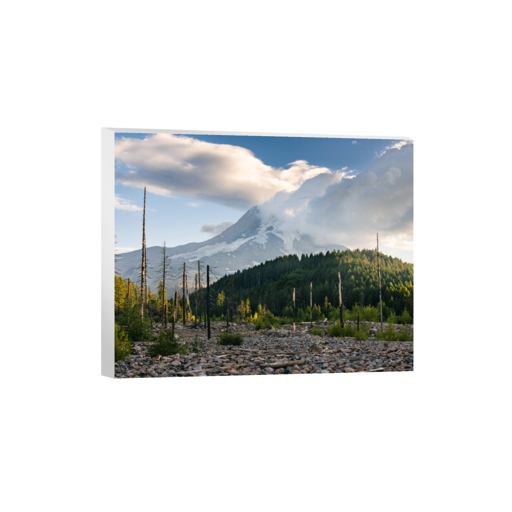
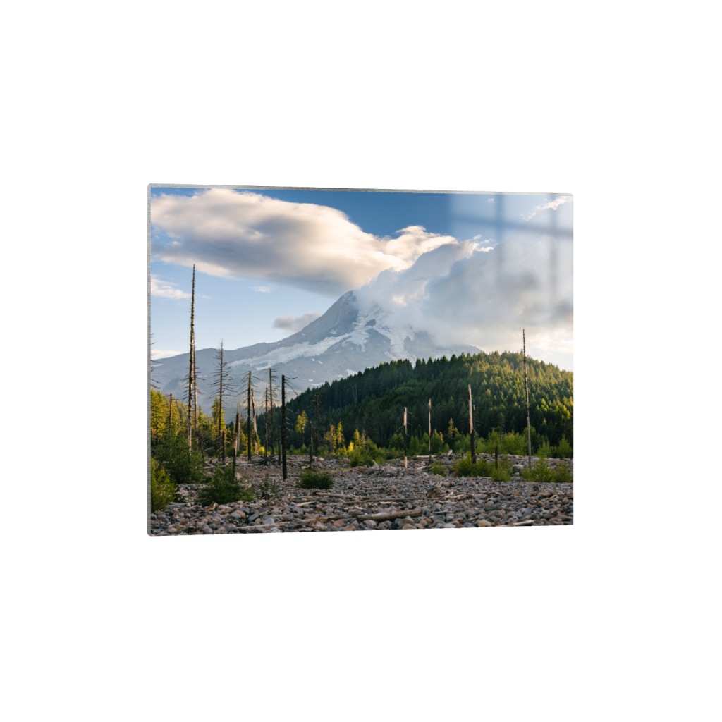
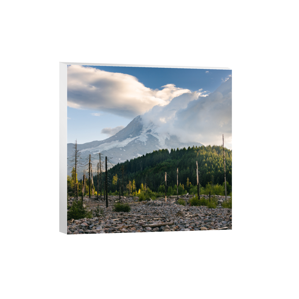
One of my favorite views is along the dirt road right before you reach the lake.

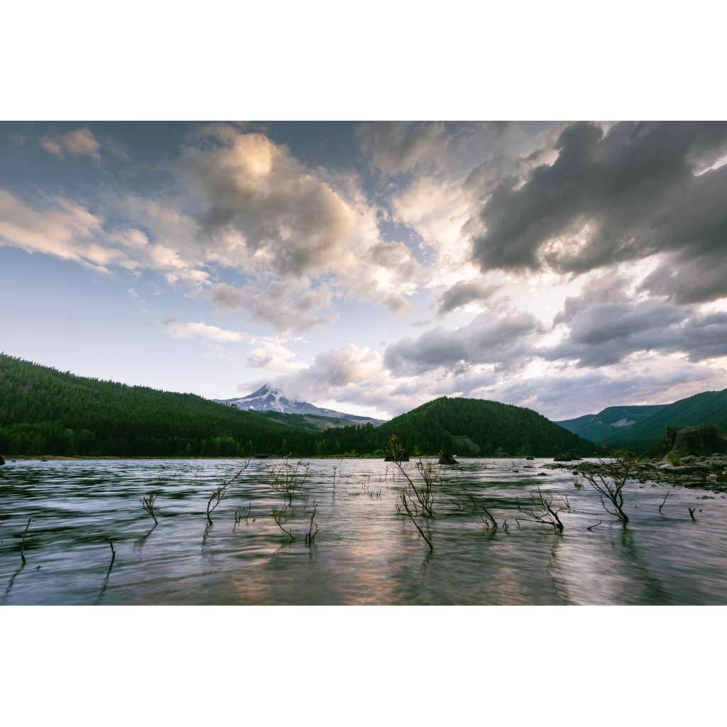
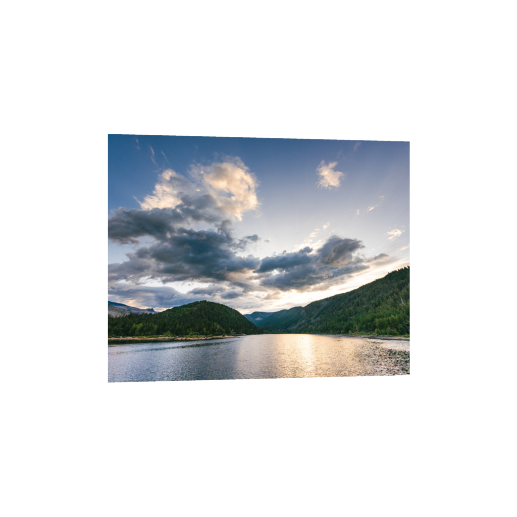
Laurance Lake View
Laurance Lake sits at 2,980 feet elevation. According to the Middle Fork Irrigation District, “When full, Laurance Lake has 130 surface acres and 3,500 acre-feet of storage capacity.”
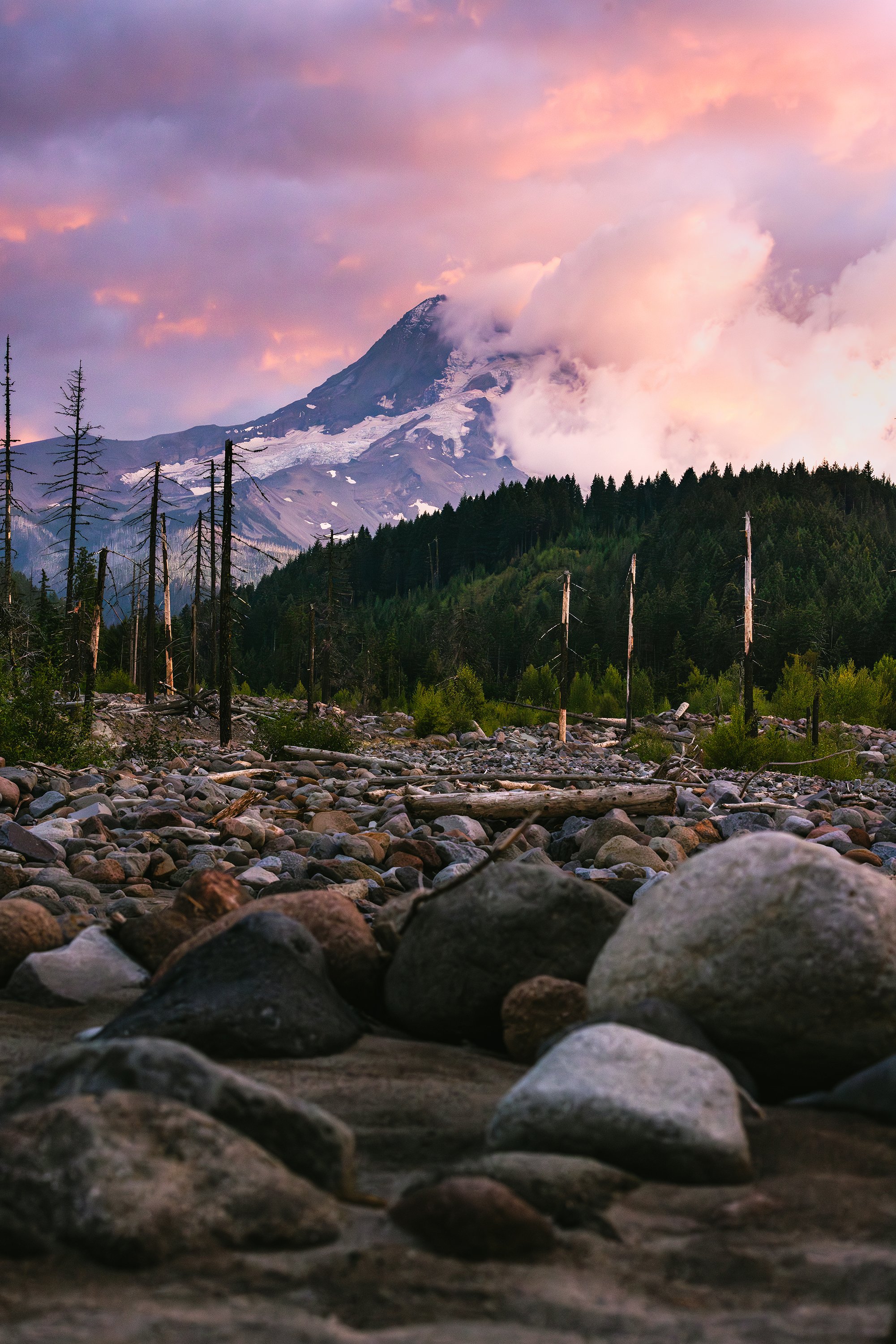
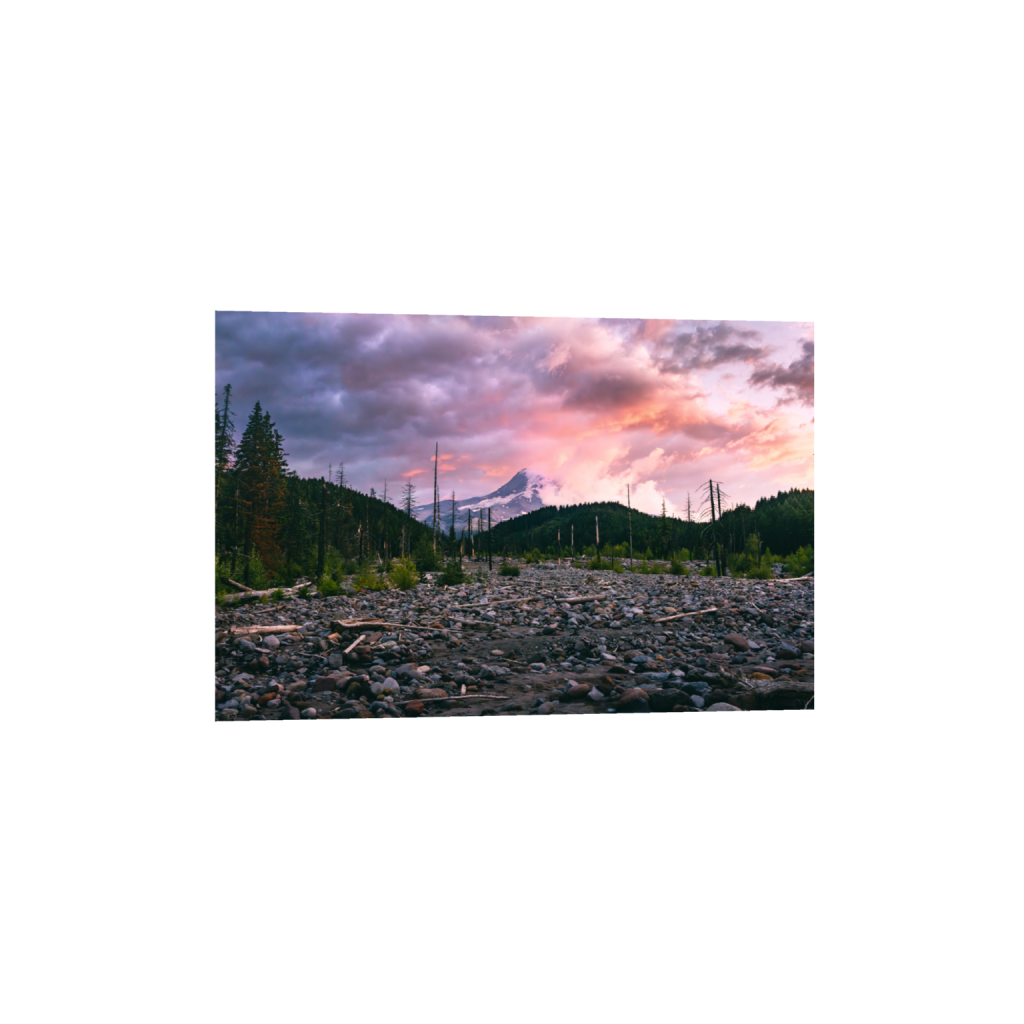
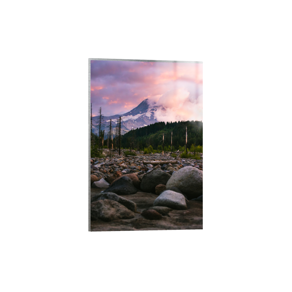
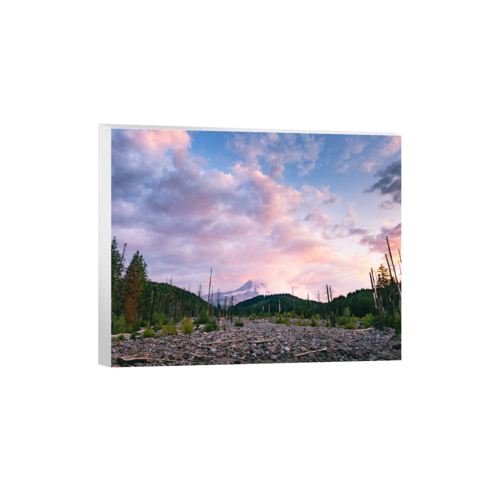
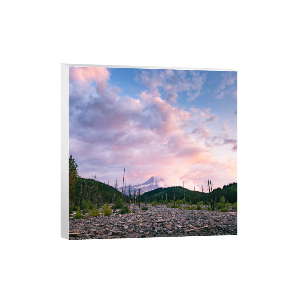
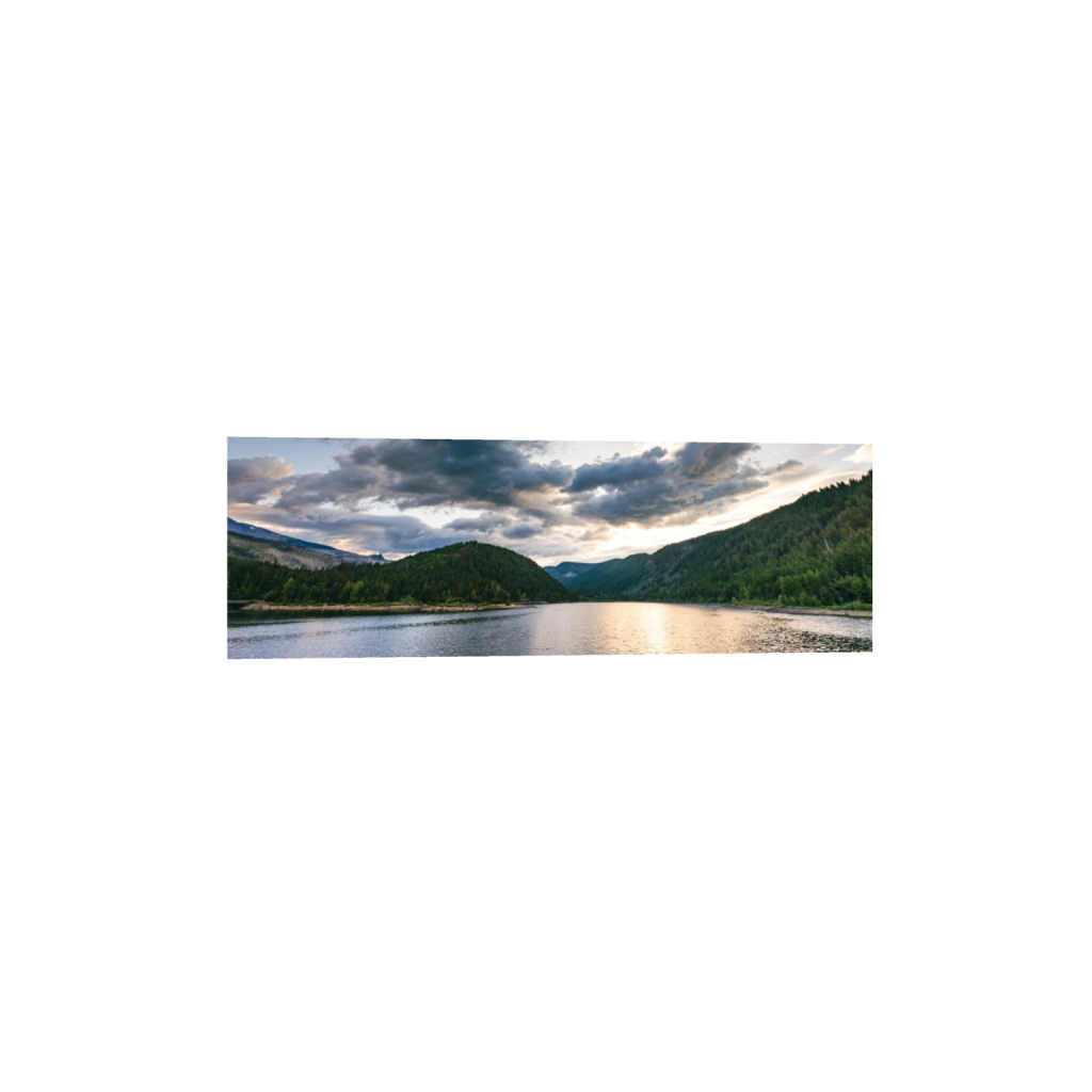
Roadside View (Sunset)
Coming back down from the lake, I was graced with vibrant cotton candy clouds.
Hiking Trails
Since I was on a tight schedule, I didn’t have time to hike any of the trails nearby, however, don’t let that stop you from exploring the area more.
Laurance Lake High Ridge Hike (6.6 mi)
Elk Cove Trail (10.8 mi)
Pinnacle Ridge Trail (6.6 mi)
Available Mt Hood Prints